
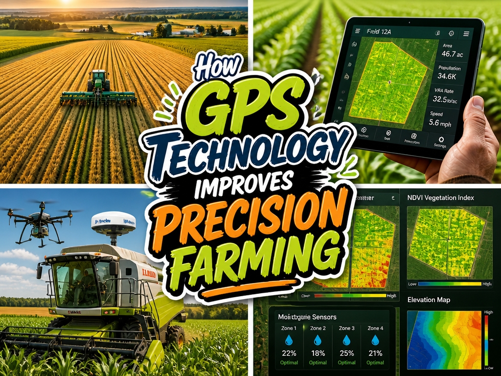
A farmer stands at the edge of his field at dawn, tablet in hand, watching a tractor move in perfect lines across the soil. GPS guidance keeps each pass within inches of the last one, cutting down on wasted seed and fuel that used to disappear into overlapping rows.
There’s something quietly satisfying about knowing exactly where your land needs help. Soil mapping reveals which corners are hungry for nutrients and which patches already have enough, so fertilizer stops being a blanket guess and becomes a tailored response.
Water flows to the roots that actually need it instead of pooling where it will go to waste.
You might wonder what early crop trouble looks like from hundreds of feet below a drone. The answer is surprisingly clear: subtle color shifts, growth patterns slightly off from the rest.
Catching these signals early means walking out to address a small problem instead of discovering a ruined section at harvest.
Of course, none of this comes free. The equipment carries real costs, and not every farm needs the most advanced setup on the market.
The best decisions come from matching the technology to the actual shape of your land and the scale of your operation.
Calculating ROI: When GPS Investments Break Even
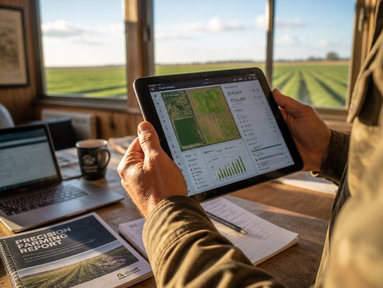
GPS systems come with significant upfront costs. Farmers need to know when these investments will pay off. Returns come from improved efficiency, less input waste, and better yields.
Most farms break even within three to five years. Farm size and crop type affect this timeline. A 500-acre corn operation might invest $50,000 in GPS equipment and software. Cost recovery happens through reduced fertilizer overlap and fuel savings.
Larger operations typically see faster payback. Smaller farms may need more time to break even.
Several factors influence your ROI. Equipment durability matters. So do maintenance expenses and fuel price changes. Yield improvements also play a role.
Calculate your annual savings carefully. Look at decreased chemical application. Factor in lower fuel consumption. Include reduced machinery wear. Compare these savings against your total system costs. This will show your specific break-even point.
Mapping Your Fields With GPS Precision
Once GPS equipment is installed, farmers can start building detailed field maps. These maps guide daily decisions across every season. They show soil conditions, elevation changes, and drainage patterns. GPS data highlights exactly where crops thrived or struggled in past years.
Farmers mark problem areas, wet spots, and high-yield zones with digital coordinates. This information enables targeted applications of fertilizer, pesticides, and water. Less waste means lower costs for your operation.
Variable rate technology uses these maps to adjust inputs automatically. Equipment responds in real time as it moves through fields. Detailed mapping also optimizes equipment routes. You will see less overlap and reduced fuel consumption.
Records from multiple years create layered maps. These reveal long-term trends and patterns in your fields.
Reduce Fertilizer and Water Waste With Variable-Rate Technology
Variable-rate technology puts GPS field maps to work. It delivers fertilizer, water, and pesticides only where crops actually need them.
Instead of covering entire fields with the same amount, the system adjusts based on soil and crop conditions. Equipment reads GPS data and responds automatically.
Farmers can apply more in spots with poor soil or struggling plants. They cut back in areas that already have enough nutrients.
This targeted approach limits chemical runoff. It also lowers input costs and saves water.
Variable-rate sprayers and irrigation controllers connect directly to GPS receivers. Output adjusts on its own without manual intervention.
Most farmers see fertilizer savings of 10-15 percent. They also gain better environmental compliance. Crop yields become more consistent, even across uneven terrain.
Automate Tractor Guidance to Eliminate Overlaps
Automated guidance systems build on GPS precision to control tractor movement across fields. They steer tractors along predetermined paths you set in advance. This reduces operator error and eliminates overlapping passes.
Overlapping creates real problems. It wastes fuel, fertilizer, and time. It also causes soil compaction issues that hurt yields over time. Guidance systems maintain consistent lane spacing, typically within 2 inches. This ensures uniform coverage across entire fields.
The technology adapts to your operation. It works with various implement widths and field shapes. Paths adjust automatically as conditions change.
Farmers see measurable benefits. Most report fuel savings of 5-10 percent annually. Systems also reduce driver fatigue during long workdays. Your crew stays alert and productive.
GPS-guided tractors extend your working hours. They operate during low-visibility conditions like fog or dust. This improves flexibility throughout planting and application seasons. You finish more acres in less time.
Monitor Crop Health in Real Time to Catch Problems Early
Crop problems spread fast. Real-time monitoring helps farmers catch issues early before they take over entire fields.
GPS-equipped drones and sensors scan large areas quickly. They spot stressed plants, disease spots, and nutrient deficiencies. Farmers get alerts about problem zones right away. This means they can treat specific areas instead of spraying entire fields.
Multispectral cameras pick up subtle changes in plant color and leaf structure. These shifts often signal disease or pest damage before it’s visible to the eye.
Soil sensors track temperature and moisture with precision. Farmers know exactly what’s happening below the surface.
This continuous data stream supports smart decisions. Fungicides, pesticides, and fertilizers go only where needed. Waste drops. Yields stay protected.
Early detection prevents crop loss. It keeps productivity strong through every growing season.
Frequently Asked Questions
What GPS Accuracy Level Is Required for Effective Precision Farming Implementation?
Precision farming typically requires GPS accuracy levels between 2-10 centimeters for ideal implementation. RTK (Real-Time Kinematic) systems provide this centimeter-level precision, enabling farmers to execute targeted applications and minimize input waste effectively.
How Does GPS Technology Integrate With Existing Farm Equipment and Software Systems?
Like puzzle pieces fitting seamlessly together, GPS technology integrates through standard communication protocols, allowing real-time data transmission between receivers, tractors, and farm management software systems, enabling automated guidance and extensive field analytics.
What Are the Main Challenges Farmers Face When Adopting GPS Technology Initially?
Farmers encounter high initial equipment costs, require specialized training for GPS system operation, face compatibility issues with older machinery, experience signal reception problems in certain terrain, and need reliable technical support infrastructure.
Which GPS Providers Offer the Best Coverage and Support for Agricultural Operations?
Remarkably, just as farmers seek reliable solutions, John Deere Operations Center and Trimble Agriculture emerge as leading providers, offering extensive GPS coverage and dedicated agricultural support systems tailored to farming operations.
How Frequently Should GPS Equipment Be Calibrated for Optimal Field Performance?
GPS equipment requires calibration every one to two years for ideal field performance. Annual checks are recommended for intensive agricultural operations, while seasonal recalibration before planting guarantees maximum accuracy and reduces yield variability.
Conclusion
GPS technology presents a paradox: initial investment costs contrast sharply with long-term savings through reduced fertilizer, water, and fuel waste. While traditional farming methods rely on uniform applications across entire fields, precision agriculture tailors inputs to specific zones, simultaneously lowering expenses and increasing yields. Farmers face upfront expenses yet gain measurable returns, transforming capital expenditure into sustainable efficiency gains that compound over successive growing seasons.