
Dawn breaks over flat Midwest fields. A farmer stands at the kitchen window, coffee cooling, wondering if the soybeans caught enough rain overnight. That quiet moment of uncertainty plays out thousands of times each growing season.
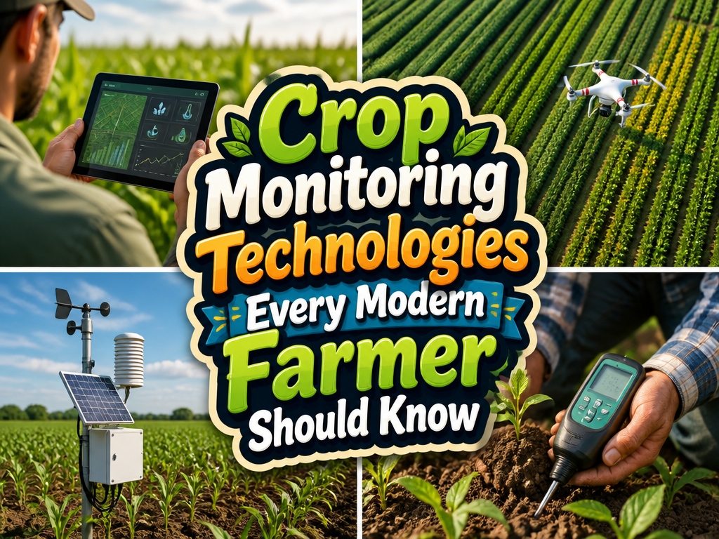
Technology has started changing how that story ends. Drones carrying multispectral cameras now capture plant stress invisible to the human eye. Soil sensors buried beneath the surface track moisture and nutrient flow in real time. Satellite imagery pulls back for the bigger picture, revealing patterns across hundreds of acres. The raw data arrives faster than ever before.
Yet many growers feel stuck at the same crossroads. You see the potential. You also see the price tags, the learning curves, the spreadsheets full of numbers that somehow need to become action.
Which system actually matches your acreage? Your crop mix? Your comfort with screens and software?
The real value lives in the decisions, not the devices themselves. A neighbor might swear by aerial imaging while you get everything you need from ground-level sensors and a solid agronomist relationship.
Start with one pain point: irrigation timing, fertilizer placement, pest scouting. Let that need guide your first step rather than chasing every shiny solution on the market.
Why Crop Monitoring Matters: The ROI Reality
What Crop Monitoring Delivers
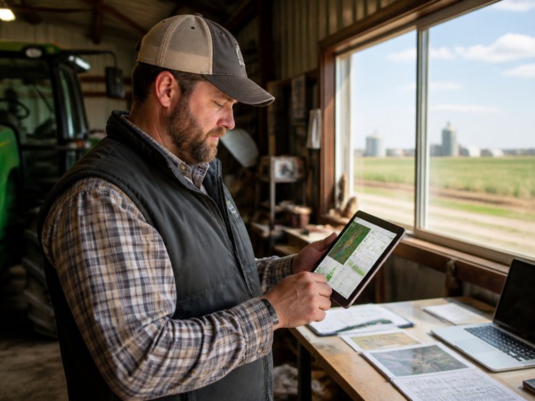
Crop monitoring tracks plant health and field conditions. It gathers data on soil moisture, nutrients, and pest activity. These tools create real returns through lower costs, fewer losses, and better yields.
Catching Problems Early
Drone imagery helps farmers spot trouble before it spreads. A small patch of disease stays small when you find it fast. This prevents widespread damage across entire fields.
Soil sensors show exactly where water and nutrients are needed. Farmers can target specific areas instead of treating the whole field the same way. Precision like this typically cuts fertilizer costs by 10 to 20 percent.
The Bottom Line
Early detection stops fungal infections, insect outbreaks, and drought stress from growing worse. Prevented losses go straight to profit.
Data replaces guesswork. Operations become more efficient and easier to plan. The result is a farm that runs smoother and earns more.
Choosing the Right Monitoring Tech for Your Farm Size
Matching Tools to Your Farm Size
Farm sizes vary widely. So do the right monitoring solutions.
Small farms under 500 acres work well with handheld soil sensors and basic drone imagery. These tools give you solid data without overwhelming complexity.
Mid-sized operations from 500 to 2,000 acres often step up to multispectral cameras and satellite subscriptions. Regular field monitoring becomes easier at this scale.
Large farms over 2,000 acres can justify bigger investments. Think autonomous drone fleets, ground-based weather stations, and integrated software platforms.
Working Within Your Budget****
Entry-level options keep costs manageable. Smartphone apps paired with affordable soil probes run under $2,000 per year.
More extensive systems with real-time analytics cost more. Variable-rate irrigation controllers and predictive modeling software typically range from $10,000 to $50,000 annually.
Choosing What Fits
Start with your specific priorities. Is water management your main concern? Do you need better pest tracking? Or is yield optimization the goal?
Pick technology that grows with you. Scalable systems let you upgrade gradually. You won’t need to replace everything when your operation expands.
Drone Imagery: When Altitude Beats Ground-Level Scouting
See More, Walk Less
Drones cover ground in minutes. You spend hours walking the same fields.
Aerial imagery reveals crop health patterns across large areas. It spots irrigation issues and pest damage early. Multispectral cameras detect plant stress invisible to the naked eye. They measure vegetation indices like NDVI with precision.
Poor weather keeps you off the fields. Drones keep working. They collect data on soil moisture, weed distribution, and nutrient deficiencies across every acre.
Thermal imaging pinpoints temperature variations. These signal disease or water stress before symptoms spread.
Best of Both Views
Ground scouting still matters. Close-up inspection and soil sampling need human eyes and hands. But drones provide the broad perspective precision agriculture demands.
Together, these approaches maximize monitoring power. You allocate resources strategically. You respond fast to changing field conditions.
Satellite Monitoring: Continuous Coverage Without Flight Time
Satellites orbit overhead day after day. They collect imagery continuously without pilots or flight planning. These systems monitor large farm areas with consistent coverage. Data arrives multiple times weekly, or even daily, depending on your provider.
Farmers access multispectral imagery from Planet Labs and Sentinel-2. Vegetation indices reveal crop health across your operation. This data spots stress patterns, irrigation needs, and pest damage. You can check hundreds or thousands of acres at once.
Weather delays that ground drones do not affect satellites. The technology connects directly to farm management software. Alerts pop up when problem areas develop. Subscription pricing depends on resolution and update frequency. For extensive acreage, satellite systems replace time-intensive ground scouting with practical, scalable monitoring.
Soil Sensors: Real-Time Data From Below Ground
While satellites watch crops from above, soil sensors work underground. They track the conditions that plants need to thrive.
These devices measure moisture, temperature, and nutrients in real time. Farmers use this data to plan irrigation. This prevents both overwatering and drought stress.
Common sensor types include capacitive sensors for moisture. EC sensors measure salinity levels.
Wireless networks send data to farm software. Farmers can monitor many field locations at once.
This technology takes the guesswork out of soil management. It optimizes water use and improves yields.
Installation means placing sensors at the right depth. Six to twelve inches below the surface works well. The exact depth depends on the crop and its root patterns.
From Raw Data to Farm Decisions: Your Analytics Engine
Data flows in daily. Soil sensors, weather stations, and satellites all feed information into farm software. These platforms spot patterns that affect crop health and yield.
Farmers see clear insights on their dashboards. The system flags issues like drought stress, low nitrogen, or pest risks. Algorithms weigh current conditions against past data, forecasts, and crop models. Then they suggest specific next steps.
Key features include:
- Irrigation timing based on soil moisture
- Fertilizer rates and application windows
- Disease risk alerts
- Harvest timing predictions
Decisions now rest on hard numbers, not hunches. This approach cuts input costs, protects the environment, and puts resources where they matter most.
Early Detection: Catching Pest Pressure Before It Spreads
How quickly can a farmer spot the first aphids or spider mites? Early detection systems use cameras and sensors to catch pest pressure before populations explode.
Drones equipped with multispectral imaging scan crop canopies. They reveal stress patterns that indicate insect feeding damage. Ground-based traps collect pest samples and provide counts that trigger management decisions.
Machine learning algorithms analyze images to distinguish damage types. These include spider mite stippling, aphid honeydew residue, or fungal infection. Farmers using these technologies catch infestations early, when targeted sprays work best.
Regular monitoring intervals help establish baseline pest numbers. Weekly or twice-weekly checks during peak seasons keep data current. This approach reduces pesticide use and lowers control costs. It protects crop yields through timely intervention rather than reactive treatment.
Spotting Nutrient Stress Before Yield Takes a Hit
Nutrient deficiencies quietly steal yields long before you see damage on leaves or stems. Modern monitoring tools catch these problems early. Farmers can then intervene with precision applications.
How Spectral Imaging Works
Spectral cameras measure how plants reflect light at specific wavelengths. This reveals hidden stress that eyes cannot see.
Nitrogen deficiency shows up as yellowing in older leaves. Phosphorus shortage causes purple discoloration. Potassium stress appears as brown leaf edges and weak stems.
Tools That Monitor Your Fields
Soil sensors measure nutrient levels right in the root zone. They provide real-time data on nitrogen, phosphorus, and potassium availability.
Drones with multispectral cameras scan large fields quickly. They map stress patterns across acres in minutes.
The Payoff of Early Action
Targeted fertilizer applications go to specific zones that need help. This reduces waste and keeps yields consistent through the growing season.
Your 90-Day Implementation Roadmap
Getting crop monitoring into daily use takes a clear plan. The next three months will get your system running smoothly.
Month One: Setup
Start by choosing the right tools for your operation. Soil sensors and drone imaging systems are popular options. Install this equipment across your target fields. Test everything to make sure it works before moving forward.
Month Two: Learning
Now focus on collecting your first data sets. Train your team on platform dashboards and alert systems. Everyone should feel confident reading the data. This foundation makes the technology truly useful.
Month Three: Refinement
Adjust irrigation schedules based on real-time conditions. Fine-tune fertilizer applications using what the data shows. Your practices become sharper with each week.
Keeping It Running
Calibrate sensors on a regular schedule. Build maintenance routines you can stick to. Always have backup power ready. Document which changes led to better crop health and yields.
Frequently Asked Questions
What’s the Typical Cost Difference Between Drone and Satellite Monitoring Systems?
Drone systems typically cost $15,000 to $50,000 initially, while satellite monitoring subscriptions range from $500 to $3,000 annually. Drones offer higher resolution but require ongoing maintenance, whereas satellites provide broader coverage at lower operational costs.
How Do I Integrate Crop Monitoring Data With My Existing Farm Management Software?
While manual record-keeping stagnates in spreadsheets, modern systems thrive through API connections. Farmers integrate monitoring data by selecting software supporting standard formats like GeoJSON, then configuring direct feeds from drone or satellite providers into their management platform’s database.
Which Monitoring Technology Works Best in Cloudy or Rainy Climates?
Ground-based sensors and thermal imaging technologies perform effectively in cloudy or rainy conditions, as they rely on soil moisture detection and temperature measurement rather than light-dependent satellite imagery or drone photography.
How Often Should I Calibrate Soil Sensors for Accurate Readings?
Soil sensors demand practically religious devotion to calibration schedules. Experts insist recalibration occurs every season or after extreme weather events. This obsessive maintenance guarantees readings remain devastatingly accurate for crop management decisions.
Can Crop Monitoring Technologies Work on Farms Smaller Than 50 Acres?
Crop monitoring technologies function effectively on smaller farms. Farmers operating under 50 acres benefit from scalable solutions like mobile apps, basic soil sensors, and weather stations. These tools provide actionable data without requiring expensive infrastructure investments.
Conclusion
Modern farmers adopting crop monitoring technologies see yield improvements of 10-15 percent within the first growing season. Drones, satellites, and soil sensors provide data that reduces guesswork, cuts input costs, and catches problems early. The investment pays for itself through better resource management and higher production. Success requires selecting tools matching farm size, integrating data systems, and committing to regular monitoring practices.