
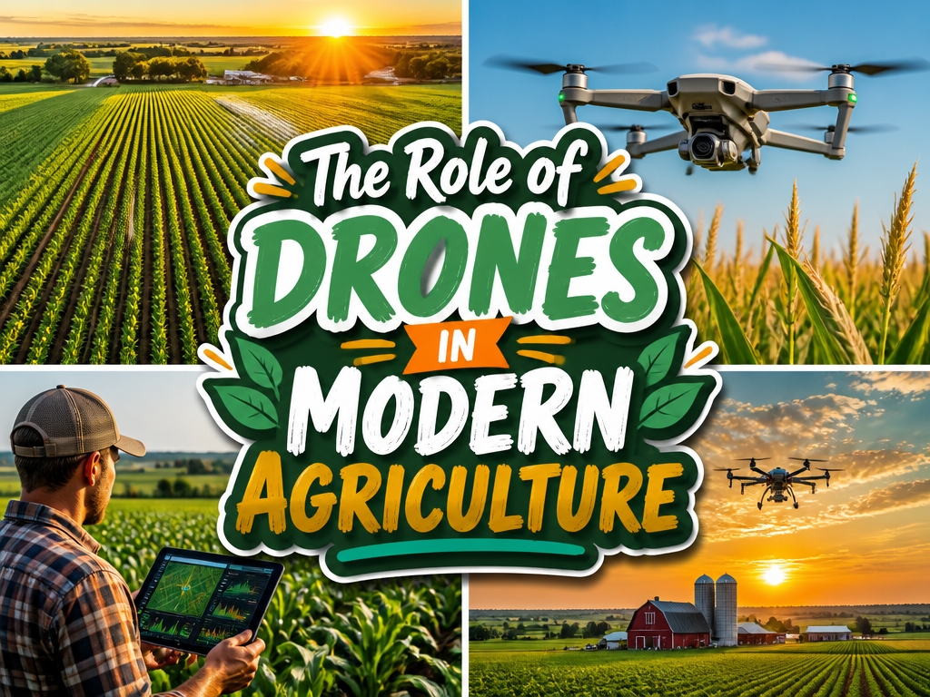
Early morning light spreads across a soybean field in Iowa. A farmer stands beside a pickup truck, watching a small drone rise steadily above the rows of green. Its multispectral camera captures what human eyes cannot see: subtle variations in plant health invisible from the ground below.
There’s something quietly remarkable about this shift. Where farmers once walked acres on foot, checking crops by hand, technology now offers a bird’s-eye view with scientific precision. Multispectral imagery reveals stressed vegetation before it yellows. Thermal sensors spot irrigation problems early. Disease signatures appear in data patterns days before symptoms spread visibly through a field.
Of course, knowing what to look for is different from knowing what to do next. The information only matters if farmers can act on it: adjusting water, targeting treatments, catching problems while they’re still manageable.
Some operations have integrated these tools smoothly. Others hesitate, weighing costs against uncertain returns, wondering if the learning curve justifies the investment.
The technology works. That much is clear. But its story in agriculture remains unfinished, shaped by each grower who decides whether these flying cameras belong in their own fieldwork routine.
How Drones Collect and Analyze Field Data
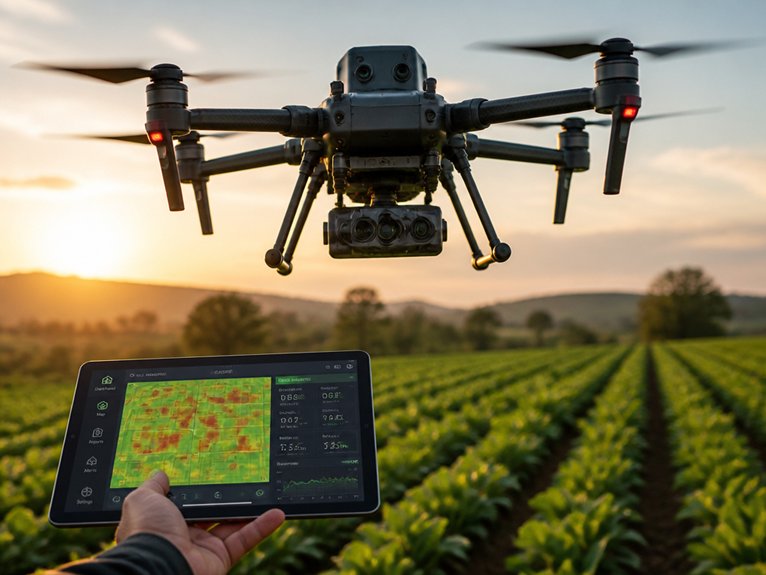
Modern agricultural drones gather crop information through sensors, cameras, and imaging systems. These tools capture visual data, thermal images, and multispectral details during field flights.
The data maps crop health, spots pest issues, and finds irrigation problems. RGB cameras provide standard photos for basic assessments. Thermal sensors pick up temperature changes that signal water stress or disease. Multispectral cameras measure how plants reflect light across different wavelengths. This reveals nutrient gaps and growth trends.
Software turns raw data into useful maps and reports. Farmers see clear visuals of problem areas. They can target specific spots instead of treating entire fields.
Early Disease Detection and Crop Health Monitoring
Spot Problems Early
Drones catch crop diseases before they spread. They fly over fields and spot trouble fast. This gives farmers time to act.
See What Eyes Miss
Multispectral cameras capture invisible light. They read infrared and near-infrared wavelengths. Unhealthy plants show up clearly in this data.
Get Clear Field Maps
Farmers receive detailed maps of their crops. These show affected areas and disease severity. Patterns become easy to spot. Decisions get simpler.
Target Your Response
Small problem zones get treated right away. There is no need for field-wide spraying. Chemical use drops significantly. Crop losses shrink too.
Watch for Common Issues
Drones track multiple threats at once. They spot fungal infections and pest infestations. Nutrient deficiencies and water stress also appear on their scans.
Work Smarter
Precise data guides every intervention. Time and resources stay under control. Yields stay protected. The farm runs more efficiently.
Optimizing Irrigation and Water Management
Drones have become essential tools for managing water efficiently. Water is one of agriculture’s most critical resources. This technology helps farmers make smarter decisions about every drop.
Modern drones carry thermal and multispectral cameras. These sensors detect soil moisture levels across large fields. They also spot areas where crops face water stress. Farmers receive clear, actionable data they can trust.
Smarter Irrigation Scheduling
Farmers use drone data to adjust when and where they water. This reduces waste and cuts utility costs. The savings add up quickly over a growing season.
Mapping and System Monitoring
Drones map field topography with impressive accuracy. This helps determine ideal water distribution patterns. They also monitor irrigation system performance. Leaks and sprinkler malfunctions become visible before major losses occur.
Precision Water Management
Operators analyze vegetation indices to compare plant health across zones. Underwatered sections get attention. Overwatered areas receive less. This balanced approach conserves water while keeping yields steady.
The technology shines brightest in drought-prone regions. Water scarcity demands careful management there. Drones make strategic allocation decisions easier for growers facing tough conditions.
Spray Smarter, Waste Less: Precision Application
Precision spraying builds on the same data-driven approach that transformed irrigation. Drones equipped with spray systems deliver pesticides, herbicides, and fertilizers exactly where they’re needed. This cuts chemical waste by up to 90 percent compared to traditional blanket spraying.
These aircraft use GPS mapping and multispectral cameras to spot problem zones in your fields. They treat only those specific areas. The result? Lower costs, less environmental impact, and reduced chemical runoff into nearby water sources.
Farmers see better crop health and faster response times. Input expenses drop significantly too. You can spot-treat weed clusters, tackle disease outbreaks in isolated sections, or apply growth regulators to specific plant zones. Just remember: proper calibration and operator training make all the difference for ideal results.
Reducing Operational Costs and Environmental Impact
Drone spraying saves money and protects the environment in ways that go far beyond using fewer chemicals.
Farmers see lower operational costs with this technology. Less pesticide and fertilizer hits the ground. That means spending less on materials overall.
Traditional ground sprayers waste about 30 percent of chemicals through overspray and runoff. Drones apply treatments with 90 percent accuracy. This precision keeps nearby water sources and soil cleaner.
Labor costs drop too. One operator can cover larger areas much faster than manual methods allow.
Equipment maintenance gets cheaper with fewer ground passes across fields. Drone technology cuts farming expenses by minimizing chemical waste and fuel consumption. Surrounding ecosystems stay protected at the same time.
Why Adoption Stalls (And How to Move Forward)
Many farmers hesitate to adopt drone technology. Upfront costs of $15,000 to $50,000 feel steep for small and mid-sized operations.
Technical expertise creates another hurdle. Operators need training and certification. Farmers also question when they’ll see returns. They don’t fully grasp what drones can do.
Regulations add friction. Airspace rules are tricky. Data privacy worries linger too.
How to Move Forward
Manufacturers should build simpler, cheaper entry models. Extension programs can run hands-on workshops.
Local demonstration projects help. Farmers see results firsthand. They gain confidence.
Rental services let people try before they buy. This lowers the financial risk.
Regulators could simplify approval processes. Streamlined rules would open doors for more farmers across the country.
Choosing the Right Drone for Your Farm
Finding the Right Drone for Your Farm
Farmers face dozens of drone options today. The right choice depends on your farm size, budget, and tasks.
Drone Types for Different Needs
Fixed-wing drones suit large farms. They cover ground quickly for crop monitoring.
Multirotor drones fit smaller fields. They offer precision for detailed inspections.
Key Features to Compare
Battery life ranges from 20 to 55 minutes. Check this before you buy.
Payload capacity matters too. Some drones carry multispectral cameras. Others handle thermal imaging equipment.
Software compatibility is crucial. Your drone should work with your existing farm management systems.
Popular Choices
DJI Agras works well for spraying applications. The senseFly eBee handles mapping tasks with ease.
Start by listing your operational needs. Then match those needs to the right equipment.
Fully Autonomous Drones: Where Farm Automation Is Heading
The Next Step for Farm Drones
Fully autonomous drones are becoming the new standard. They move past manual and semi-autonomous models that many farmers still use today.
These systems rely on GPS, sensors, and AI. They handle crop monitoring, pesticide application, and field mapping on their own. No human pilot needed.
Companies like DJI and PrecisionHawk are leading the way. Their drones navigate fields alone, spot problem areas, and adapt in real time.
Benefits and Savings
Labor costs drop when drones work around the clock. Large fields get covered faster and more consistently than before.
Hurdles to Consider
Regulatory approval remains a work in progress. Bad weather can ground flights. The upfront price tag also gives some farmers pause.
Making the Switch
Take stock of your operation first. Consider field size, crop types, and what software you already run.
Connecting autonomous drones to your farm management system creates smoother data flow. Better information leads to better choices.
Frequently Asked Questions
What Is the Typical Lifespan and Maintenance Schedule for Agricultural Drones?
Agricultural drones typically last three to five years with proper maintenance. Regular schedules include pre-flight inspections, battery checks, propeller replacements, and firmware updates. Professional servicing annually extends operational lifespan considerably.
How Do Weather Conditions Affect Drone Performance and Data Collection Accuracy?
Weather greatly impacts drone performance and data accuracy. High winds compromise flight stability and image quality, while rain damages sensors and reduces visibility. Cloud cover obscures thermal imaging, and operators once relied on carrier pigeons to navigate such conditions.
Are There Specific Licensing or Certification Requirements to Operate Agricultural Drones?
Agricultural drone operators must obtain Part 137 certification from the FAA to apply pesticides or fertilizers. Additionally, remote pilot licenses (Part 107) are required for commercial operations, including crop monitoring and data collection activities.
What Is the Average Return on Investment Timeline for Drone Implementation?
Most agricultural operations report recovering their drone investment within one to three years through reduced input costs, improved crop monitoring, and increased yield efficiency. Returns vary based on farm size and operational intensity.
How Do Drones Handle Data Security and Protect Sensitive Farm Information?
Ninety-three percent of farmers prioritize data protection when adopting drone technology. Agricultural drones employ encrypted data transmission, secure cloud storage, and restricted access protocols to safeguard sensitive farm information from unauthorized use and cyber threats.
Conclusion
Drones have become essential farm tools, offering farmers data-driven insights through sensors, imaging, and real-time monitoring. They detect diseases early, manage water efficiently, and apply chemicals precisely, reducing waste and costs. Despite telegraph-era adoption barriers persisting in some rural areas, technological advances continue lowering entry costs. Farmers selecting appropriate drone systems and addressing infrastructure challenges can substantially improve productivity, sustainability, and profitability while maintaining environmentally responsible practices.